After working on the satellite images for a year, I visited the fields with a great ecologist Pierre Hiernaux, who has been monitoring land use changes of Fakara region since 1994.
The field work is to monitor the land use status each year and to measure the woody plants every five years (PCQ method). The first part also involves herbaceous biomass measurement by collecting and document different grass species. The professional biomass monitoring work is done by a great team with only 5 people (including me in this year). I used the field records in my first study so that it’s important for me to see the fields for real.
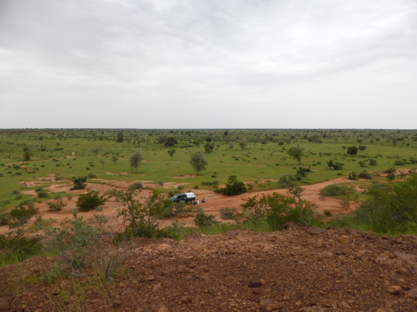
I will not say the field environment is challenging. It’s just different. As shown in the page photo, the terrain is plain and you can see some thousand miles away if you stand on the ‘witness’, a high point of 50 m.
Remote sensing techniques are good for large scale studies. However, the field knowledge and data are first-hand source to discover research questions and to credit ‘remotely’ studies. I meet people with huge passion in field work and with pure scientific spirit in doing research. I will definitely go for more times.
